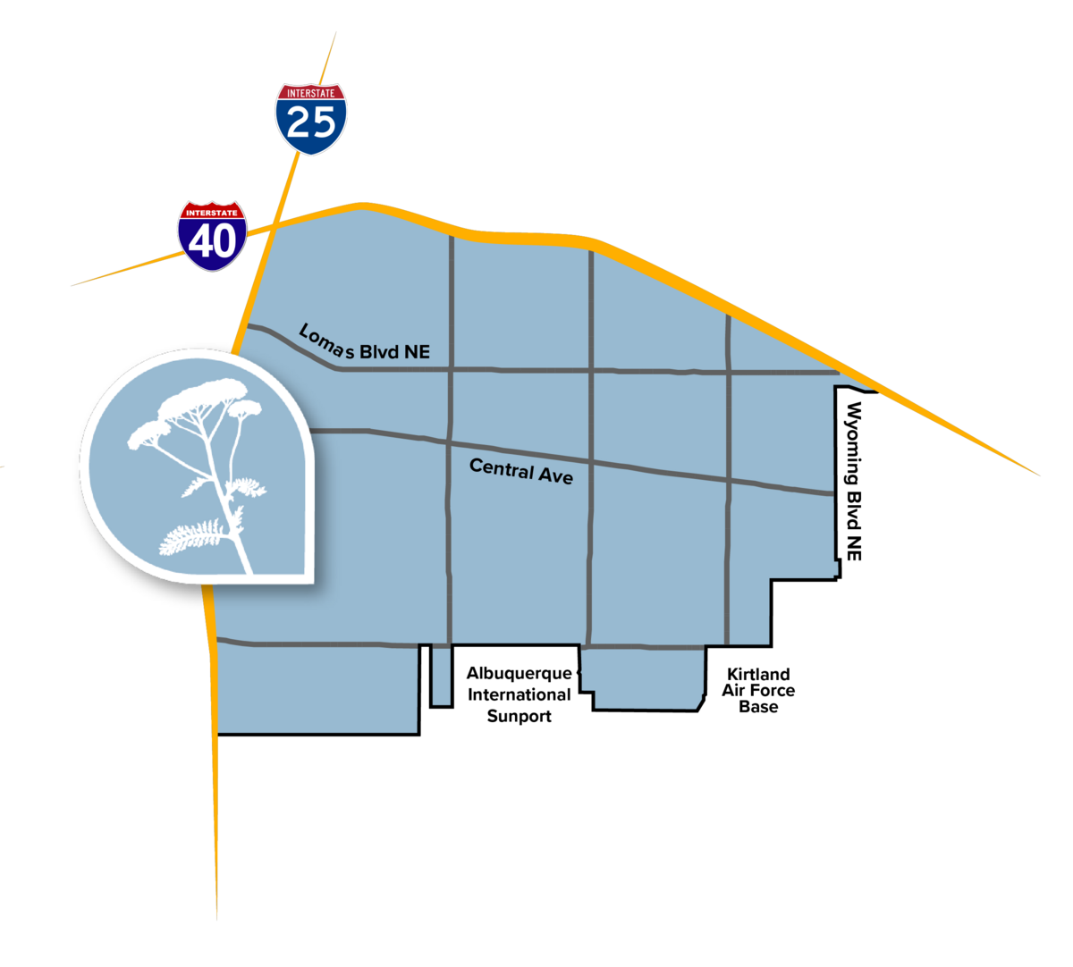
Stretching east from the highway to Wyoming, the Near Heights Community Planning Area (CPA) encompasses the University area, Nob Hill, and the International District, as well as many distinct neighborhoods and districts south to the Sunport and Kirtland Air Force Base and north to I-40. Near Heights includes most of the city's largest institutions and employers, including UNM, CNM, Presbyterian and UNM hospitals, the Veterans Affairs complex, and the International Sunport. It is also a gateway for Kirtland Air Force Base, which hosts both military and civilian facilities, including Sandia Laboratories.

The population of the Near Heights is very diverse. The area has one of the largest concentrations of new immigrants in the city and has higher rates of both racial and age diversity than most other areas of the city.
The Near Heights has rolling topography caused by water flow through the Tijeras Arroyo. Much of the area was developed beginning in the 1920s with many single-family developments serving UNM faculty and students. The neighborhoods developed in the 1940s and 1950s served many of the families working on Kirtland Air Force Base in the decades after its establishment during World War II. The area includes a range of architectural styles and building scales. The Central Avenue corridor and its Route 66 features much of the distinctive mid-century modern style development commonly found along this historic highway.
The Near Heights Community Planning Area Assessment Report was accepted by City Council on April 3rd 2023. The long range team worked with other City departments, local organizations, and community members starting in February 2021 to describe existing conditions, identify community priorities, and develop policies and actions.
